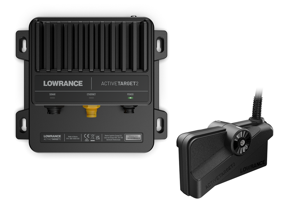
"https://www.lowrance.com/assets/img/default-product-img.png?w=400&h=225&scale=both&mode=max"
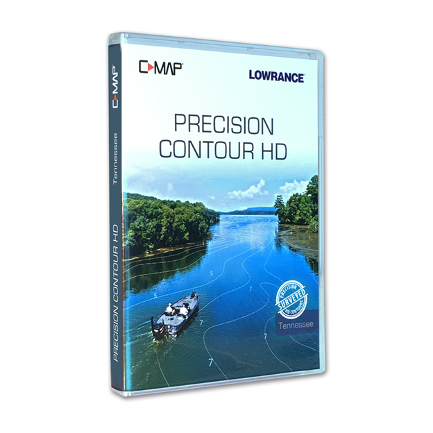
C-MAP Precision Contour HD - Tennessee
SKU: 000-14809-001
000-14809-001
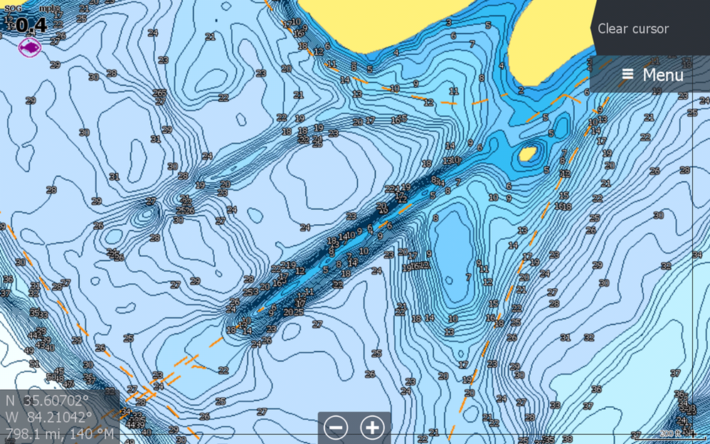
Whether fishing new water or your local lake, you will have an easier time getting on the fish with C-MAP® Precision Contour HD maps – the ideal fishing maps for serious anglers. Precision Contour HD maps bring together the best data from professional lake surveys, C-MAP Genesis Social Maps and traditional lake maps to deliver high-detail, statewide fishing maps with 1-foot contours.
Product details
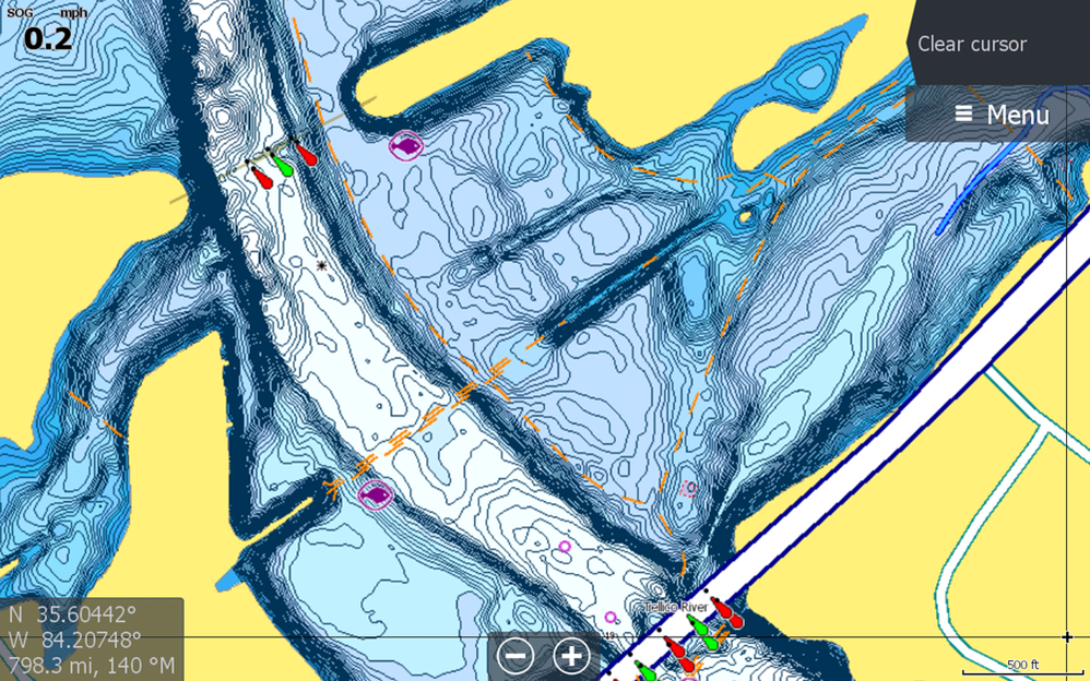
The perfect mapping solution for tournament anglers, Precision Contour HD maps offer comprehensive coverage, including shallow backwaters and distant creek arms that other map cards overlook. The top fishing destinations were meticulously surveyed using innovative C-MAP Genesis technology to create the most complete maps of key fish-holding bottom structure like humps, holes, reefs, shoals, drains, ditches, ledges and break lines.
Key Features
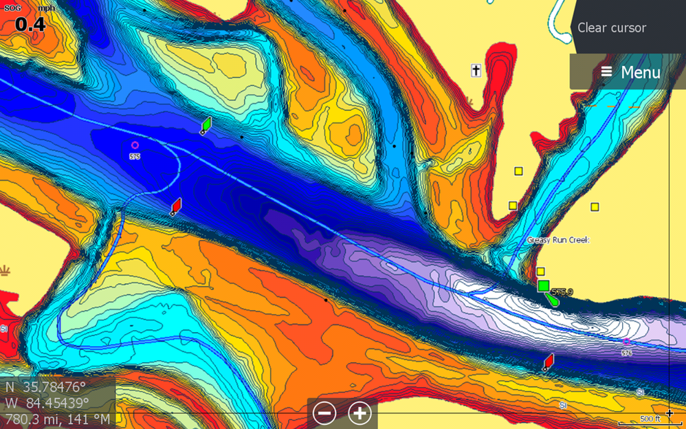
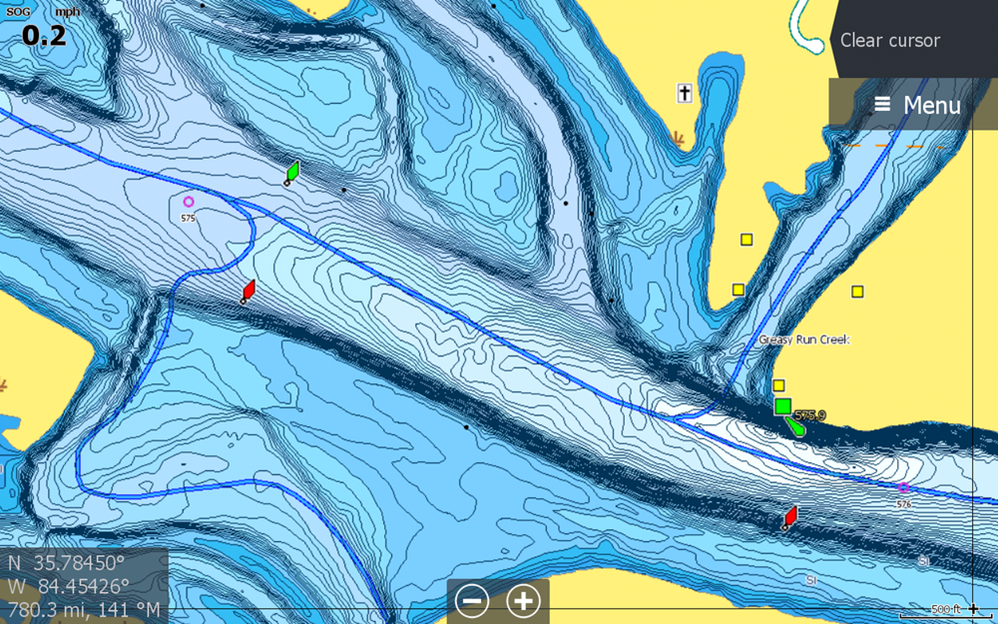
- Survey quality Contour Data - 1-foot contour coverage, visible even at wide zoom levels
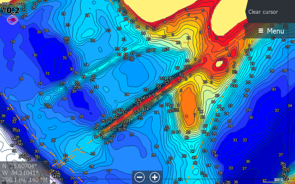
- Custom depth shading – choose colors for specific depth ranges to highlight fishing-holding depths and/or hazard zones
- Points of Interest - includes traditional navigation information, C-MAP Navigation data, plus Fishing HotSpots waypoints and lakes-specific fishing tips and techniques
- High resolution satellite imagery – used to locate man-made fish-holding structure like boat docks. Available views include water and land, water only and land only.
- Preset Depth Shading Palettes, including Safety Shading
- Includes fishing regulations, records and ID photos
- Free 1-year subscription to C-MAP Genesis Edge Custom mapping service.
- Compatible with HDS LIVE, HDS Carbon, HDS Gen3, HDS Gen2, Elite Ti², Elite Ti and HOOK²*
- Surveyed waterbodies
- Chickamauga
- Kentucky Lake
- Douglas
- Fort Loudon
- Tellico
- Old Hickory
- Watts Bar
- Melton Hill
- J. Percy Priest
- Nickajack